
Fitxer:Ephesos regional map.png

Mida d'aquesta previsualització: 800 × 568 píxels. Altres resolucions: 320 × 227 píxels | 640 × 455 píxels | 1.024 × 728 píxels | 1.168 × 830 píxels.
Fitxer original (1.168 × 830 píxels, mida del fitxer: 1,32 Mo, tipus MIME: image/png)
| Aquest fitxer i la informació mostrada a continuació provenen del dipòsit multimèdia lliure Wikimedia Commons. |
Resum
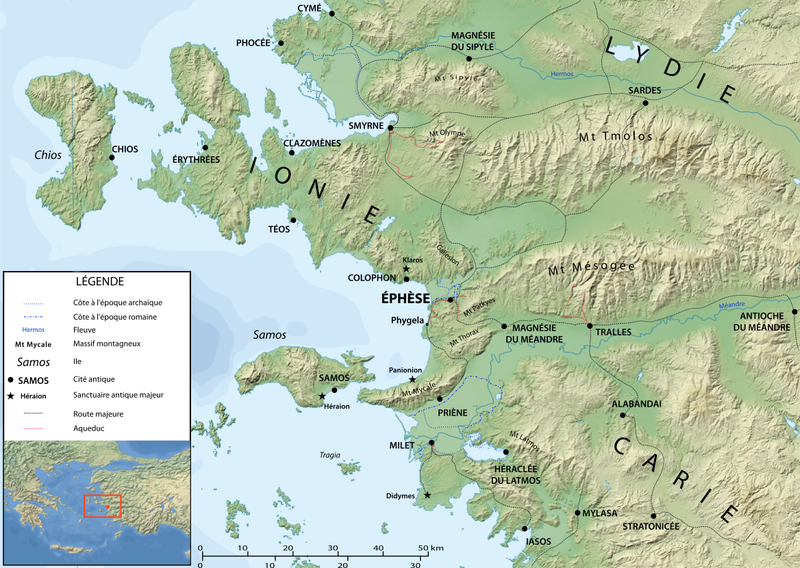
| Descripció | Map of Ephesos region in Antiquity, made after Eric Gaba's map of the Aegean area (Image:Aegean_Sea_map_bathymetry-fr.svg) | ||
| Data | |||
| Font | Treball propi | ||
| Autor | Marsyas after User:Sting | ||
| Permís (Com reutilitzar aquest fitxer) |
Jo, el titular dels drets d'autor d'aquest treball, el public sota les següents llicències:
This file is licensed under the Creative Commons Attribution-Share Alike Attribution-Share Alike 4.0 International, 3.0 Unported, 2.5 Generic, 2.0 Generic and 1.0 Generic license.
Podeu seleccionar la llicència que vulgueu. |
Llicència
Jo, el titular dels drets d'autor d'aquest treball, el public sota les següents llicències:

|
S'autoritza la còpia, la distribució i la modificació d'aquest document sota els termes de la llicència de documentació lliure GNU versió 1.2 o qualsevol altra versió posterior que publiqui la Free Software Foundation; sense seccions invariants, ni textos de portada, ni textos de contraportada. S'inclou una còpia d'aquesta llicència en la secció titulada GNU Free Documentation License. |
Aquest fitxer està subjecte a la llicència de Creative Commons Reconeixement 3.0 No adaptada.
- Sou lliure de:
- compartir – copiar, distribuir i comunicar públicament l'obra
- adaptar – fer-ne obres derivades
- Amb les condicions següents:
- reconeixement – Heu de donar la informació adequada sobre l'autor, proporcionar un enllaç a la llicència i indicar si s'han realitzat canvis. Podeu fer-ho amb qualsevol mitjà raonable, però de cap manera no suggereixi que l'autor us dóna suport o aprova l'ús que en feu.
Podeu seleccionar la llicència que vulgueu.
Historial del fitxer
Cliqueu una data/hora per veure el fitxer tal com era aleshores.
| Data/hora | Miniatura | Dimensions | Usuari/a | Comentari | |
|---|---|---|---|---|---|
| actual | 22:54, 3 abr 2008 | | 1.168 × 830 (1,32 Mo) | Marsyas | {{Information |Description=Map of Ephesos region in Antiquity, made after Eric Gaba's map of the Aegean area (Image:Aegean_Sea_map_bathymetry-fr.svg) |Source=self-made |Date=2008.04.03 |Author= Marsyas after User:Sting |Permissio |
Ús del fitxer
Les 3 pàgines següents utilitzen aquest fitxer:
Ús global del fitxer
Utilització d'aquest fitxer en altres wikis:
- Utilització a arz.wikipedia.org
- Utilització a ast.wikipedia.org
- Utilització a bg.wikipedia.org
- Utilització a br.wikipedia.org
- Utilització a ceb.wikipedia.org
- Utilització a de.wikipedia.org
- Utilització a el.wikipedia.org
- Utilització a en.wikipedia.org
- Utilització a eo.wikipedia.org
- Utilització a es.wikipedia.org
- Utilització a fr.wikipedia.org
- Utilització a gl.wikipedia.org
- Utilització a he.wikipedia.org
- Utilització a it.wikipedia.org
- Utilització a lt.wikipedia.org
- Utilització a ru.wikipedia.org
- Utilització a uk.wikipedia.org
- Utilització a wa.wikipedia.org
- Utilització a www.wikidata.org