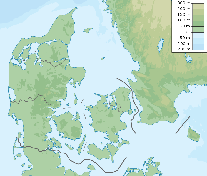
Fitxer:Denmark physical map.svg
Aparença

Mida d'aquesta previsualització PNG del fitxer SVG: 704 × 600 píxels. Altres resolucions: 282 × 240 píxels | 564 × 480 píxels | 902 × 768 píxels | 1.202 × 1.024 píxels | 2.404 × 2.048 píxels | 851 × 725 píxels.
Fitxer original (fitxer SVG, nominalment 851 × 725 píxels, mida del fitxer: 379 Ko)
Historial del fitxer
Cliqueu una data/hora per veure el fitxer tal com era aleshores.
| Data/hora | Miniatura | Dimensions | Usuari/a | Comentari | |
|---|---|---|---|---|---|
| actual | 16:29, 25 nov 2022 |  | 851 × 725 (379 Ko) | GrandEscogriffe | more correct north-south stretching |
| 21:51, 23 oct 2013 |  | 851 × 686 (300 Ko) | NordNordWest | upd | |
| 06:50, 16 març 2011 |  | 852 × 689 (302 Ko) | Urutseg |
Ús del fitxer
Les 2 pàgines següents utilitzen aquest fitxer:
Ús global del fitxer
Utilització d'aquest fitxer en altres wikis:
- Utilització a als.wikipedia.org
- Utilització a ar.wikipedia.org
- Utilització a ast.wikipedia.org
- Utilització a azb.wikipedia.org
- Utilització a az.wikipedia.org
- Luytla-Duymun
- Streymoy
- Şablon:Yer xəritəsi Danimarka
- Yutlandiya
- Böyük Kəmər
- Skagerrak
- Kattegat
- Kiçik Kəmər
- Zelandiya (ada)
- Fyun
- Vensyossel-Ti
- Limfyord boğazı
- Amager çimərliyi
- Anholt adası
- Boqe adası
- Samsyo adası
- Myon adası
- Oryo adası
- Femyo adası
- Feyyo adası
- Boroy adası
- Kalsoy adası
- Kunoy adası
- Koltur adası
- Skuvoy adası
- Suvuroy adası
- Hestur adası
- Esturoy adası
- Qoashyolmur adası
- Tindhyolmur adası
- Sandoy adası
- Stoura-Duymun adası
- Voar adası
- Nyolsoy adası
- Svuynoy adası
- Viyoy adası
- Miçines adası
- Sumbiarstaynur
- Franklin adası (Qrenlandiya)
- Fuqloy adası
- Qrenen burnu
- Danimarka boğazları
- Bornholm
- Saltholm
Vegeu més usos globals d'aquest fitxer.

