
Fitxer:Italy North location map.svg

Fitxer original (fitxer SVG, nominalment 1.240 × 792 píxels, mida del fitxer: 293 Ko)
| Aquest fitxer i la informació mostrada a continuació provenen del dipòsit multimèdia lliure Wikimedia Commons. |
Resum
| Descripció |
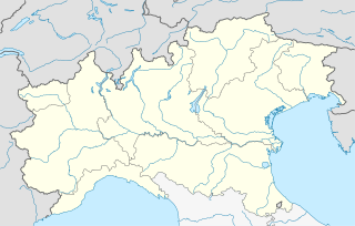
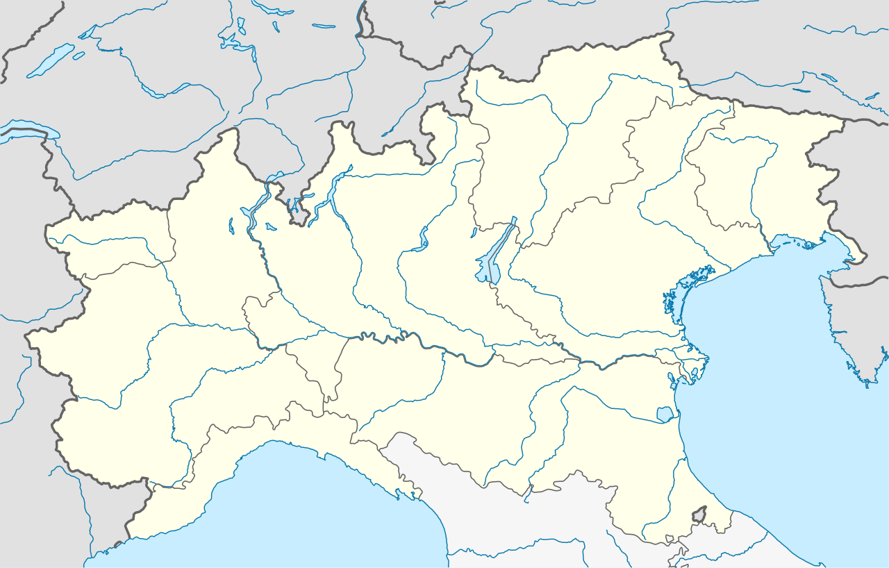
Quadratische Plattkarte, N-S-Streckung 132,898 %. Geographische Begrenzung der Karte:
Equirectangular projection, N/S stretching 132.898 %. Geographic limits of the map:
|
|
| Data | ||
| Font |
Treball propi, using
|
|
| Autor | NordNordWest | |
| Permís (Com reutilitzar aquest fitxer) |
Aquest fitxer està publicat sota la llicència de Creative Commons Reconeixement i Compartir Igual 3.0 Alemanya.
 Aquest fitxer està publicat sota la llicència de Creative Commons Reconeixement i Compartir Igual 3.0 Alemanya.
|


|
This map has been made or improved in the German Kartenwerkstatt (Map Lab). You can propose maps to improve as well.
|
Historial del fitxer
Cliqueu una data/hora per veure el fitxer tal com era aleshores.
| Data/hora | Miniatura | Dimensions | Usuari/a | Comentari | |
|---|---|---|---|---|---|
| actual | 19:48, 24 juny 2021 | | 1.240 × 792 (293 Ko) | NordNordWest | upd |
| 21:01, 4 ago 2010 |  | 1.240 × 792 (316 Ko) | NordNordWest | == {{int:filedesc}} == {{Information |Description= {{de|Positionskarte der NUTS-1-Regionen Nordwesten und Nordosten von Italien}} Quadratische Plattkarte, N-S-Streckung 132,898 %. Geographische Begrenzung der Karte: * N: 47.3� |
Ús del fitxer
No hi ha pàgines que utilitzin aquest fitxer.
Ús global del fitxer
Utilització d'aquest fitxer en altres wikis:
- Utilització a ar.wikipedia.org
- Utilització a ba.wikipedia.org
- Utilització a bn.wikipedia.org
- Utilització a ceb.wikipedia.org
- Utilització a cs.wikipedia.org
- Utilització a de.wikipedia.org
- Kleiner Sankt Bernhard
- Colle di Tenda
- Passo di Croce Domini
- Predilpass
- Passo San Pellegrino
- Olympische Winterspiele 2006/Eishockey
- Borromäische Inseln
- Forcola di Livigno
- Monte Isola
- Tonalepass
- Valparolapass
- Staulanzapass
- Passo di Falzarego
- Neveasattel
- Golf von Triest
- Passo Campo Carlo Magno
- Col Agnel
- Passo di Giau
- Tremalzopass
- Manghenpass
- Vorlage Diskussion:Infobox Pass
- Mauriapass
- Passo Duran
- Passo Cibiana
- Passo Cereda
- Passo Rolle
- Passo Brocon
- Passo San Antonio
- Passo San Boldo
- Colle del Lys
- Eishockey-Weltmeisterschaft der U20-Junioren 2008
- Golfo Paradiso
- Passo dell’Aprica
- Passo del Vivione
- Passo San Marco
- Mortirolopass
Vegeu més usos globals d'aquest fitxer.