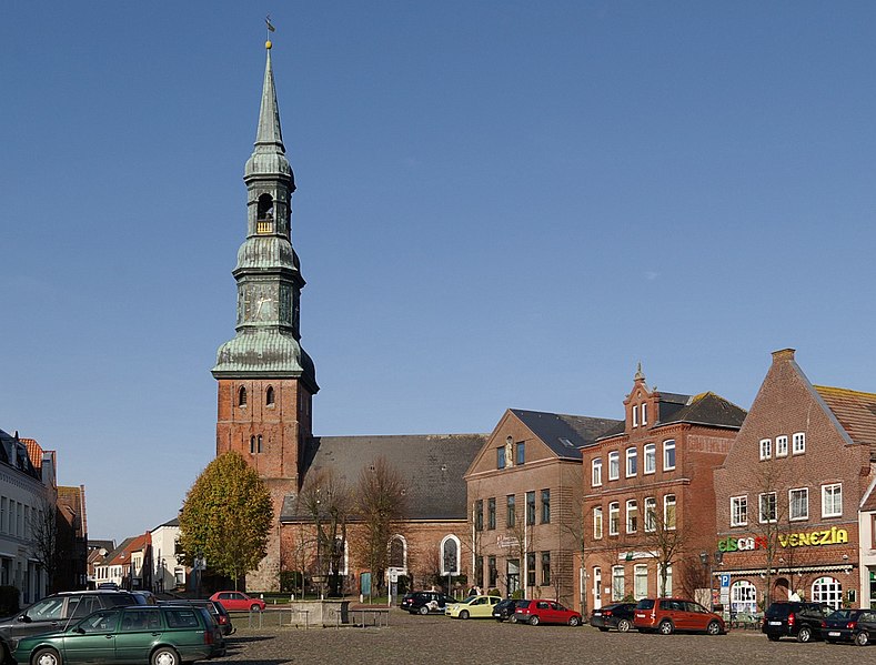
Fitxer:Toenning Marktplatz IMGP1978 wp.jpg
Aparença

Mida d'aquesta previsualització: 789 × 599 píxels. Altres resolucions: 316 × 240 píxels | 632 × 480 píxels | 1.011 × 768 píxels | 1.053 × 800 píxels.
Fitxer original (1.053 × 800 píxels, mida del fitxer: 290 Ko, tipus MIME: image/jpeg)
Historial del fitxer
Cliqueu una data/hora per veure el fitxer tal com era aleshores.
| Data/hora | Miniatura | Dimensions | Usuari/a | Comentari | |
|---|---|---|---|---|---|
| actual | 23:59, 6 gen 2009 |  | 1.053 × 800 (290 Ko) | Smial | {{Information |Description={{de|Tönning, Schleswig-Holstein, Markt}} |Source=own work |Date=2008-10-25 |Author=smial |Permission=Smial GFDL 1.2 & CC-BY-SA-NC |other_versions= }} {{User:Smial/Lizenz}} [[Category:Files by User:Smial from d |
Ús del fitxer
La pàgina següent utilitza aquest fitxer:
Ús global del fitxer
Utilització d'aquest fitxer en altres wikis:
- Utilització a ar.wikipedia.org
- Utilització a ceb.wikipedia.org
- Utilització a ce.wikipedia.org
- Utilització a de.wikipedia.org
- Utilització a de.wikivoyage.org
- Utilització a en.wikivoyage.org
- Utilització a es.wikipedia.org
- Utilització a eu.wikipedia.org
- Utilització a he.wikipedia.org
- Utilització a hu.wikipedia.org
- Utilització a ku.wikipedia.org
- Utilització a nl.wikipedia.org
- Utilització a nn.wikipedia.org
- Utilització a no.wikipedia.org
- Utilització a pl.wikipedia.org
- Utilització a ro.wikipedia.org
- Utilització a ru.wikipedia.org
- Utilització a sr.wikipedia.org
- Utilització a tt.wikipedia.org
- Utilització a uz.wikipedia.org
- Utilització a www.wikidata.org


