
Fitxer:US 280.svg

Mida d'aquesta previsualització PNG del fitxer SVG: 750 × 600 píxels. Altres resolucions: 300 × 240 píxels | 600 × 480 píxels | 960 × 768 píxels | 1.280 × 1.024 píxels | 2.560 × 2.048 píxels.
Fitxer original (fitxer SVG, nominalment 750 × 600 píxels, mida del fitxer: 9 Ko)
| Aquest fitxer i la informació mostrada a continuació provenen del dipòsit multimèdia lliure Wikimedia Commons. |
Resum
| Descripció |
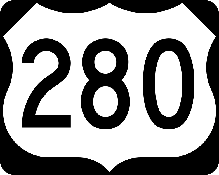
English: 750 mm × 600 mm (30 in × 24 in) U.S. Highway shield, made to the specifications of the 2004 edition of Standard Highway Signs. (Note that there is a missing "J" label on the left side of the diagram.) Uses the Roadgeek 2005 fonts. (United States law does not permit the copyrighting of typeface designs, and the fonts are meant to be copies of a U.S. Government-produced work anyway.) |
| Data | (UTC) |
| Font | 2004 MUTCD Standard Highway Signs |
| Autor | Fredddie, originally SPUI |
Llicència
This file is in the public domain because it comes from the Manual on Uniform Traffic Control Devices, sign number M1-4, which states specifically on page I-1 that:
|
.svg) |
Historial del fitxer
Cliqueu una data/hora per veure el fitxer tal com era aleshores.
| Data/hora | Miniatura | Dimensions | Usuari/a | Comentari | |
|---|---|---|---|---|---|
| actual | 02:34, 26 ago 2017 | | 750 × 600 (9 Ko) | Fredddie | |
| 08:50, 27 gen 2006 |  | 750 × 600 (6 Ko) | SPUI~commonswiki | {{spuiother}} 750 mm by 600 mm (30 in by 24 in) U.S. Route shield, made to the specifications of the [http://mutcd.fhwa.dot.gov/SHSm/Guide.pdf 2004 edition of Standard Highway Signs]. (Note that there is a missing "J" label on the left side of the diagram |
Ús del fitxer
La pàgina següent utilitza aquest fitxer:
Ús global del fitxer
Utilització d'aquest fitxer en altres wikis:
- Utilització a bg.wikipedia.org
- Utilització a de.wikipedia.org
- Utilització a de.wikivoyage.org
- Utilització a en.wikipedia.org
- Montgomery County, Georgia
- U.S. Route 1
- Chambers County, Alabama
- Coosa County, Alabama
- Jefferson County, Alabama
- Lee County, Alabama
- Russell County, Alabama
- Shelby County, Alabama
- Talladega County, Alabama
- Tallapoosa County, Alabama
- Interstate 16
- Interstate 75
- Interstate 20
- Interstate 59
- Interstate 85
- Wilcox County, Georgia
- Wheeler County, Georgia
- Webster County, Georgia
- Toombs County, Georgia
- Telfair County, Georgia
- Tattnall County, Georgia
- Sumter County, Georgia
- Stewart County, Georgia
- Muscogee County, Georgia
- Evans County, Georgia
- Dodge County, Georgia
- Crisp County, Georgia
- Chattahoochee County, Georgia
- Bryan County, Georgia
- List of United States Numbered Highways
- Cordele, Georgia
- Mount Vernon, Georgia
- Columbus, Georgia
- U.S. Route 27
- U.S. Route 80
- U.S. Route 41
- U.S. Route 11
- U.S. Route 19
- U.S. Route 31
Vegeu més usos globals d'aquest fitxer.