
Fitxer:Volta districts.png
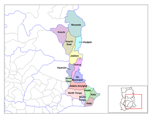
Mida d'aquesta previsualització: 776 × 600 píxels. Altres resolucions: 311 × 240 píxels | 621 × 480 píxels | 994 × 768 píxels | 1.056 × 816 píxels.
Fitxer original (1.056 × 816 píxels, mida del fitxer: 43 Ko, tipus MIME: image/png)
| Aquest fitxer i la informació mostrada a continuació provenen del dipòsit multimèdia lliure Wikimedia Commons. |
Resum
| Descripció |
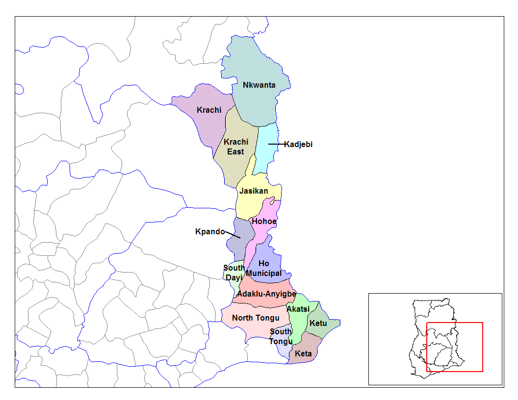
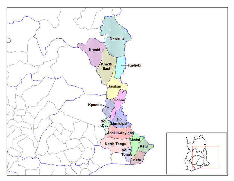
English: Map of the districts of the Volta region of Ghana. Created by Rarelibra for public domain use. Created using MapInfo Professional v7.5 and various mapping resources. |
| Data | 28 de juny de 2006 (original upload date) |
| Font | Treball propi |
| Autor | User:Rarelibra |
Llicència
| Jo, el titular del copyright d'aquesta obra, l'allibero al domini públic. Això s'aplica a tot el món. En alguns països això pot no ser legalment possible, en tal cas: Jo faig concessió a tothom del dret d'usar aquesta obra per a qualsevol propòsit, sense cap condició llevat d'aquelles requerides per la llei. |
Registre original de càrregues
- (del) (cur) 08:03, 5 March 2006 . . Rarelibra (Talk | contribs) . . 1056x816 (44,138 bytes) (Map of the districts of the Volta region of Ghana. Created by Rarelibra for public domain use. Created using MapInfo Professional v7.5 and various mapping resources.)
Historial del fitxer
Cliqueu una data/hora per veure el fitxer tal com era aleshores.
| Data/hora | Miniatura | Dimensions | Usuari/a | Comentari | |
|---|---|---|---|---|---|
| actual | 15:01, 28 juny 2006 | | 1.056 × 816 (43 Ko) | Ahanta | from en:districts of ghana Map of the districts of the Volta region of Ghana. Created by Rarelibra for public domain use. Created using MapInfo Professional v7.5 and various mapping resources. [edit] I, the creator of this work, hereby release it into th |
Ús del fitxer
La pàgina següent utilitza aquest fitxer:
Ús global del fitxer
Utilització d'aquest fitxer en altres wikis:
- Utilització a ceb.wikipedia.org
- Utilització a dag.wikipedia.org
- Utilització a da.wikipedia.org
- Utilització a de.wikipedia.org
- Utilització a dga.wikipedia.org
- Utilització a ee.wikipedia.org
- Utilització a en.wikipedia.org
- Utilització a es.wikipedia.org
- Utilització a fa.wikipedia.org
- Utilització a fr.wikipedia.org
- District (Ghana)
- Région de la Volta
- Adaklu-Anyigbe
- Akatsi
- Dayi sud
- Tongu nord
- Tongu sud
- Nkwanta sud
- Kpando
- Kadjebi
- Jasikan
- District municipal de Keta
- Ketu sud
- Ketu nord
- Nkwanta nord
- Biakoye
- District municipal d'Ho
- District municipal d'Hohoe
- Krachi est
- Krachi ouest
- Modèle:Infobox District du Ghana
- Modèle:Infobox District du Ghana/Documentation
- Utilització a gpe.wikipedia.org
Vegeu més usos globals d'aquest fitxer.