
Fitxer:Yugoslavia map 1920.jpg

Mida d'aquesta previsualització: 800 × 530 píxels. Altres resolucions: 320 × 212 píxels | 640 × 424 píxels.
Fitxer original (906 × 600 píxels, mida del fitxer: 192 Ko, tipus MIME: image/jpeg)
| Aquest fitxer i la informació mostrada a continuació provenen del dipòsit multimèdia lliure Wikimedia Commons. |
Resum
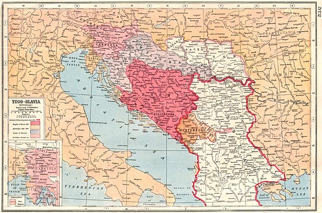
| Descripció | Old map of Yugoslavia from 1920. |
| Data | |
| Font | [1] [2] (BALKANS:Yugoslavia Historical; Bosnia Serbia Montenegro; nationalities 1920 map; 1920; Harmsworth's new Atlas) |
| Autor | Unsigned |
![[1]](http://www.antiquaprintgallery.com/ekmps/shops/richben90/images/balkans-yugoslavia-historical-bosnia-serbia-montenegro-nationalities-1920-map-120236-p.jpg)
Llicència
This work is in the public domain in the United States because it was published (or registered with the U.S. Copyright Office) before January 1, 1929.
Public domain works must be out of copyright in both the United States and in the source country of the work in order to be hosted on the Commons. If the work is not a U.S. work, the file must have an additional copyright tag indicating the copyright status in the source country.
Note: This tag should not be used for sound recordings. |
Historial del fitxer
Cliqueu una data/hora per veure el fitxer tal com era aleshores.
| Data/hora | Miniatura | Dimensions | Usuari/a | Comentari | |
|---|---|---|---|---|---|
| actual | 11:34, 6 oct 2012 | | 906 × 600 (192 Ko) | PANONIAN | {{Information |Description=Old map of Yugoslavia from 1920. |Source= http://www.antiquaprintgallery.com/ekmps/shops/richben90/images/balkans-yugoslavia-historical-bosnia-serbia-montenegro-nationalities-1920-map-120236-p.jpg http://www.antiquaprintgalle... |
Ús del fitxer
No hi ha pàgines que utilitzin aquest fitxer.
Ús global del fitxer
Utilització d'aquest fitxer en altres wikis:
- Utilització a ru.wikipedia.org
- Utilització a sh.wikipedia.org
- Utilització a sr.wikipedia.org
- Utilització a uk.wikipedia.org