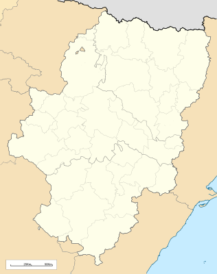
Plantilla:Location map Aragó
Aparença
Aquesta definició de mapa, Plantilla:Location map Aragó, té les següents opcions:
|name=Aragó
|top= 43.055249
|bottom= 39.750129
|left=-2.282836
|right=0.858865
|image=Spain Aragon location map.svg
|mark=Area2.svg
|marksize=4
| Nom | Aragó | |||
|---|---|---|---|---|
| Coordenades dels extrems | ||||
| 43.055249 | ||||
| -2.282836 | ←↕→ | 0.858865 | ||
| 39.750129 | ||||
| Centre del mapa | 41° 24′ 10″ N, 0° 42′ 43″ O / 41.402689°N,0.7119855°O | |||
| Imatge | Spain Aragon location map.svg
| |||

| ||||
| mark | Area2.svg
| |||
| marksize | 4 | |||
